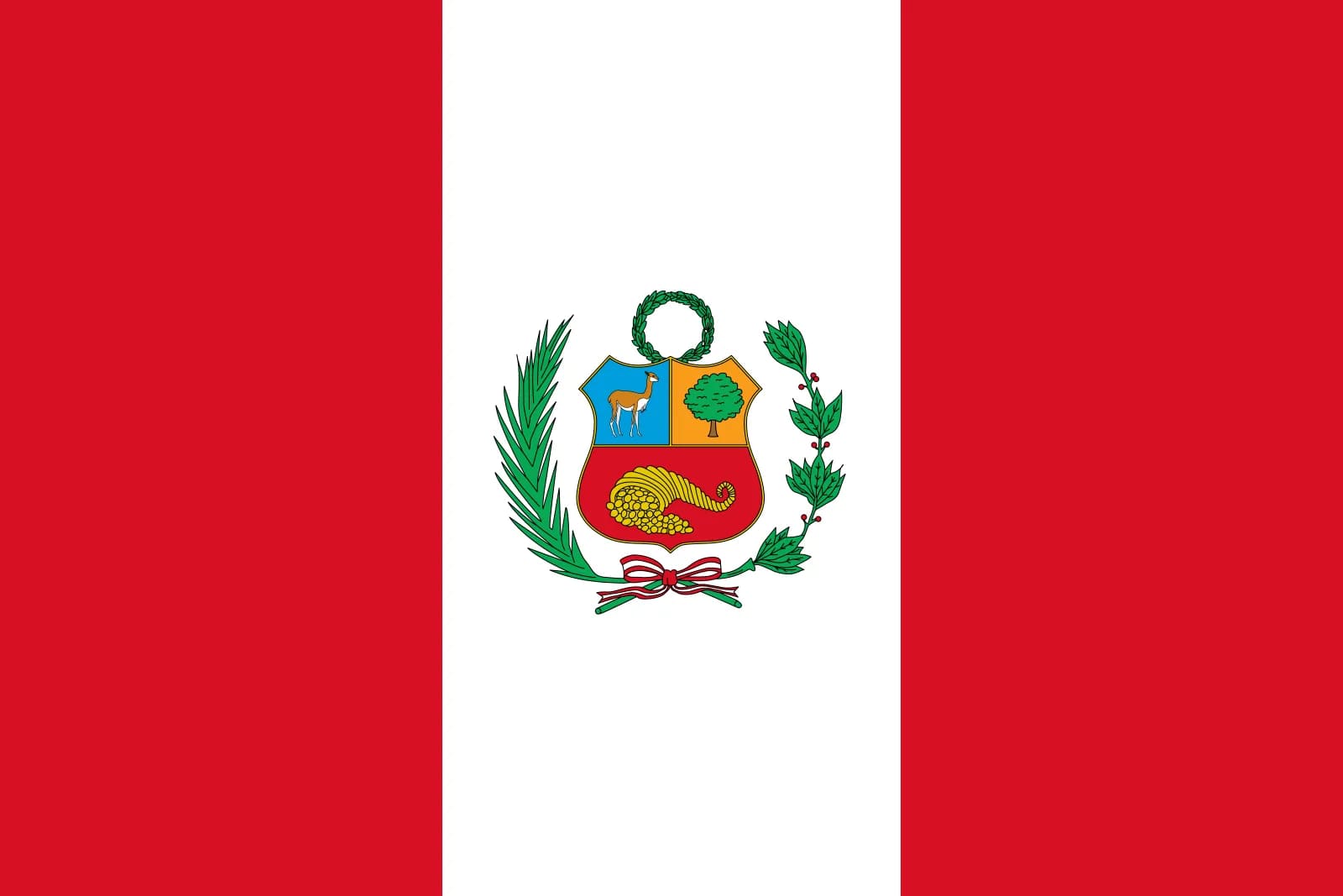
Peru Facts and Figures
Peru is located in the central western part of South America. To the north, it borders both Ecuador and Colombia; to the east with Brazil and Bolivia; to the south with Chile; and the Pacific Ocean lies to the west.
Geography
- Area: 1.28 million sq. km. (496,225 sq. mi.)
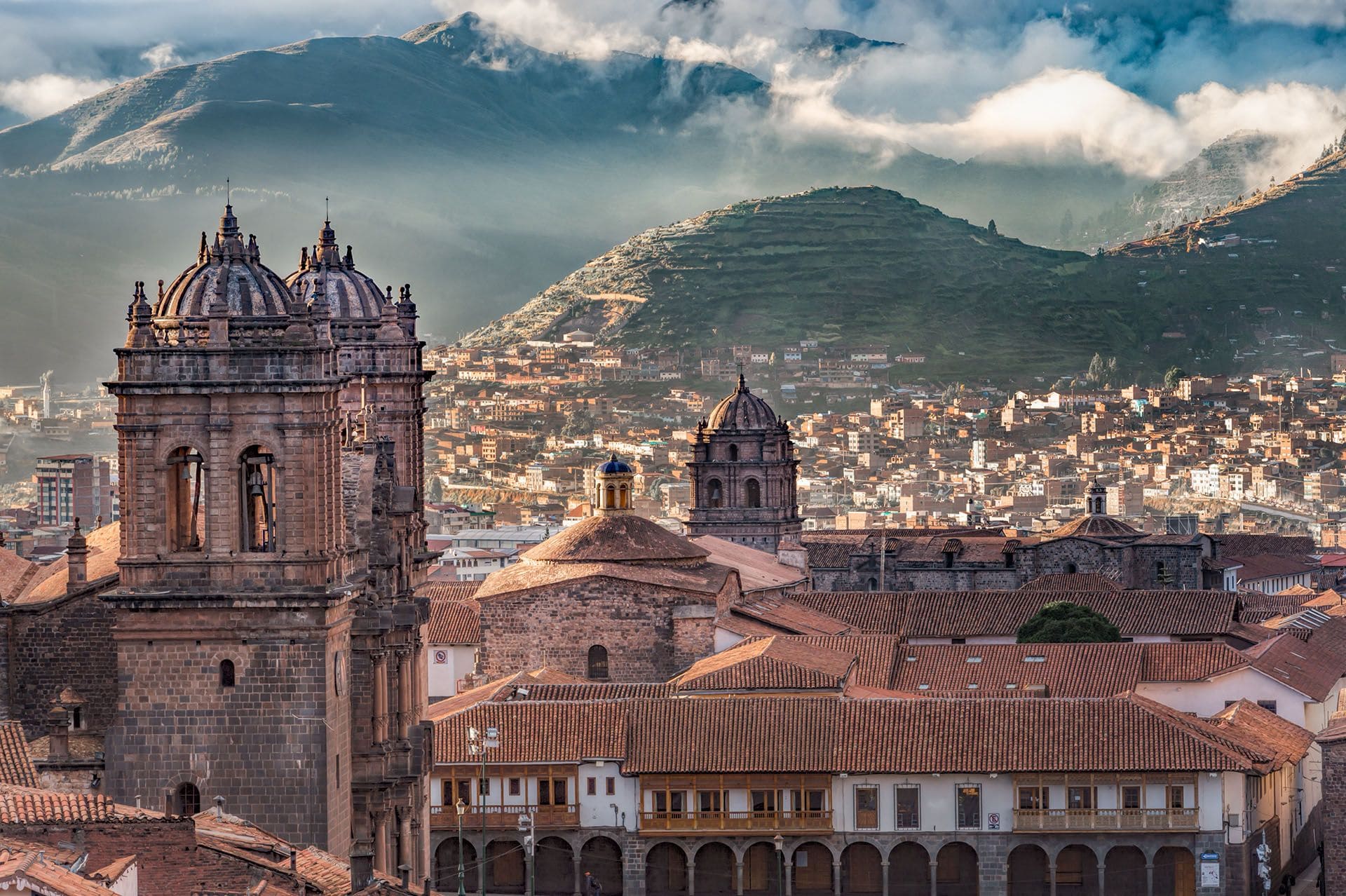
Peru is the third-largest country in South America and is approximately five times the size of the United Kingdom and four times that of Italy. - Capital and largest city: Lima, (8,500,000 metropolitan area). Major cities and corresponding populations: Arequipa (836,859), Chiclayo (757,452), Chimbote (423,381), Cusco (420,030), Huancayo (336,054), Iquitos (452,757), Piura (450,363 citizens), Tacna (298,044), and Trujillo (751,960).
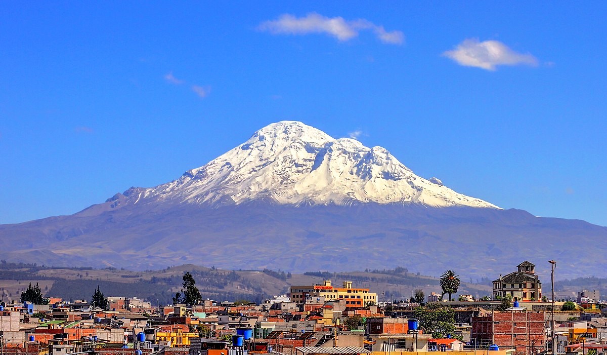
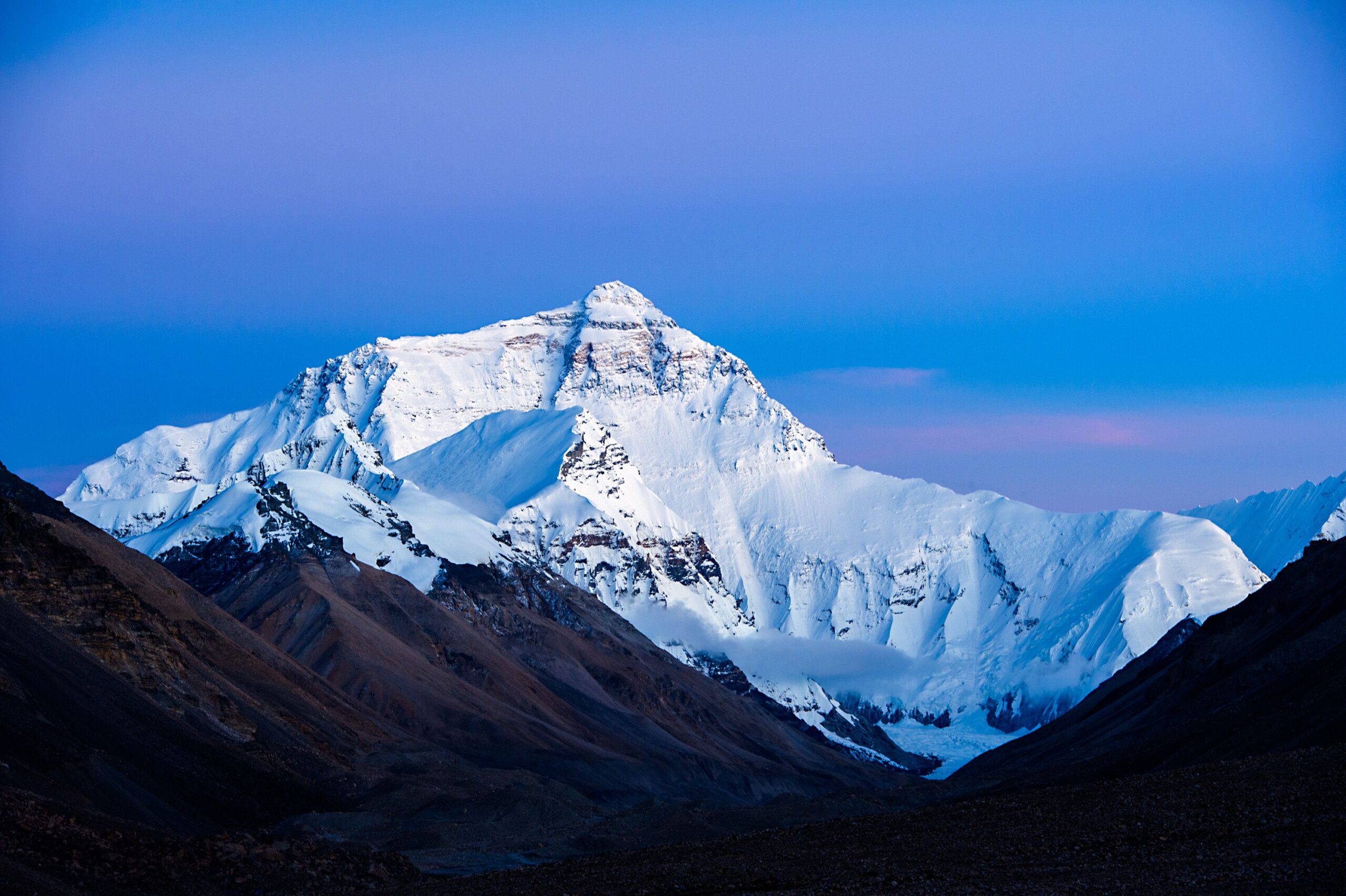
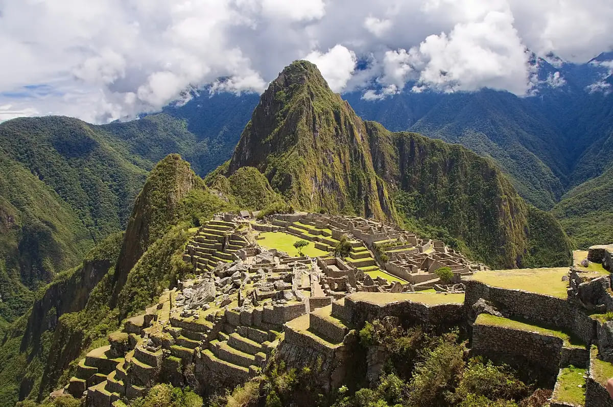
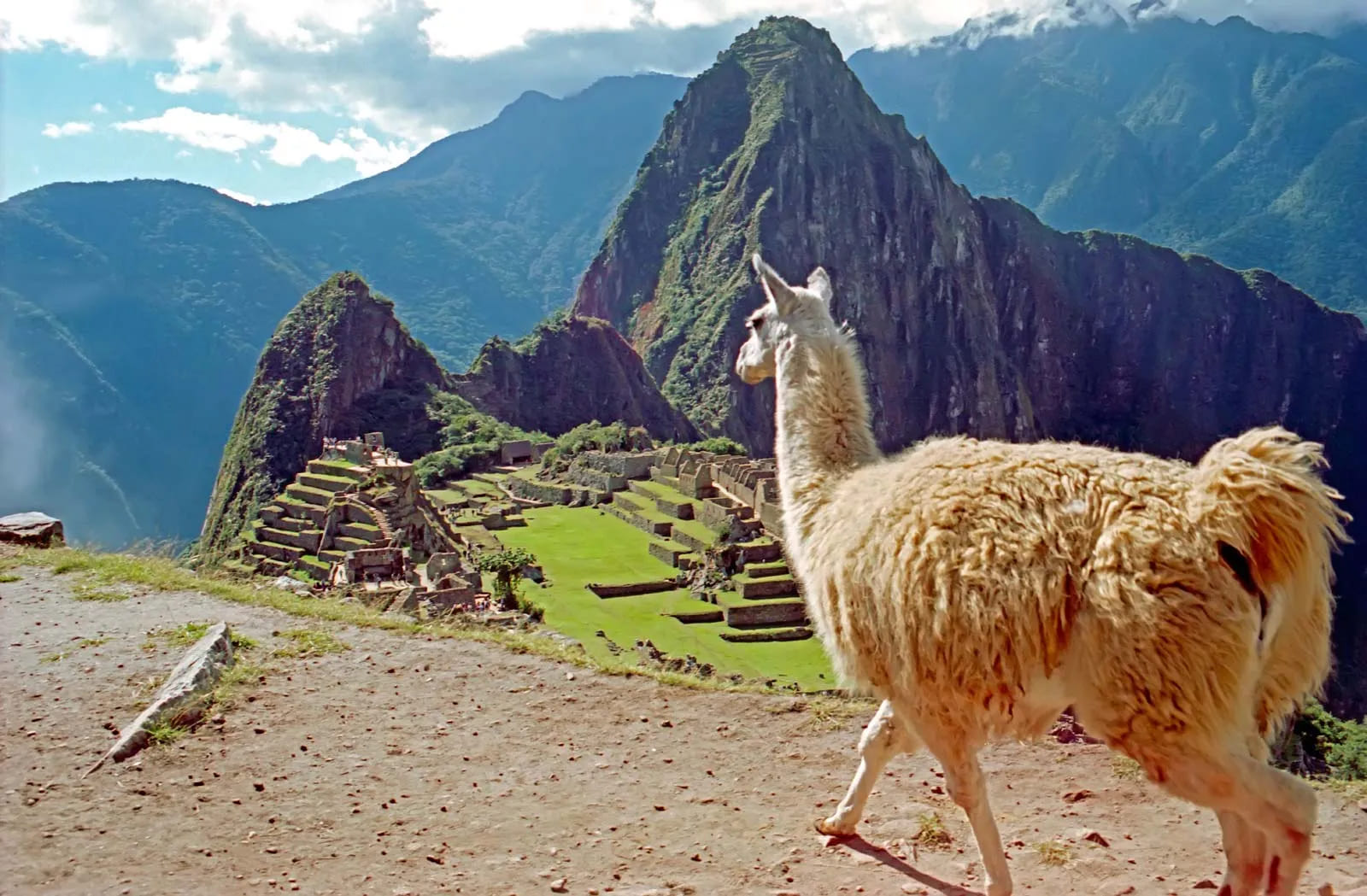
- Terrain: Western arid coastal plains, central rugged Andean mountains, and eastern lowlands with tropical forests that are part of the Amazon basin.
- Climate: Arid and mild in coastal areas, temperate to frigid in the Andes, and warm and humid in the jungle lowlands.
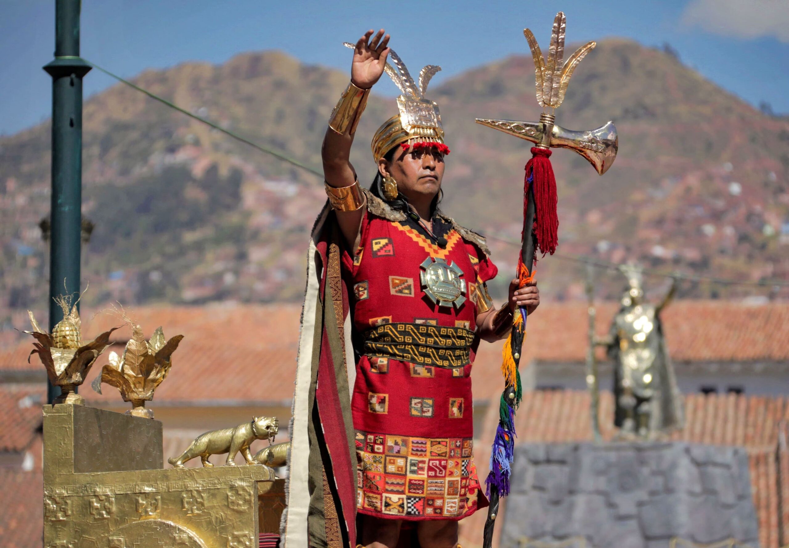
People
- Nationality: Peruvian.
- Ethnic groups: Indigenous (45%); mixed background (“mestizo”, 37%); European (15%); African, Japanese, Chinese, and other (3%).
- Population (2011): 29.8 million (close to 30% of the population lives in the Lima-Callao metropolitan area).
- Annual population growth rate (2011): 1.14%.
- Religions: Roman Catholic (81%), other (19%).
- Languages: Spanish is the principal language. Quechua, Aymara, and other indigenous languages also have official status.
- Education: Years compulsory: 11. Attendance: ages 6-11, 92%; ages 12-16, 66%. Literacy: 96% in urban areas, 80% in rural areas.
- Health: Life expectancy (2007): males, 68 years; females, 72 years.
Government
- Type: Constitutional republic.
- President: Ollanta Humala (July 2011).
- Independence: July 28, 1821.
- Constitution: December 31, 1993.
- Executive: President, two vice presidents, and a Council of Ministers led by a president of the Council of Ministers (prime minister).
- Administrative divisions: 25 regions (sometimes called departments) subdivided into 195 provinces and 1,834 districts.
- Political parties: Alianza Popular Revolucionaria Americana (APRA), Popular Christian Party (PPC), Peruvian Nationalist Party (PNP), Peru Posible (PP), Popular Action (AP), National Solidarity (SN), Union for Peru (UPP), Somos Peru (SP), National Restoration (RN), and Force 2011.
- Right to vote: Universal and mandatory for citizens18-70.
Economy
- GDP (2010): US$154 billion.
- Annual growth rate: 8.8% (2010) – 6.9% (2011), with an expected growth of about 5% in 2012.
- Per capita GDP (2010): $5,224.
- Natural resources: Copper, gold, silver, zinc, lead, iron ore, fish, petroleum, natural gas, and forestry.
- Manufacturing (2010): 15.0% of GDP. Types: food and beverages, textiles and apparel, nonferrous and precious metals, non-metallic minerals, petroleum refining, paper, chemicals, iron and steel, fishmeal, footwear, chemicals, paper, machinery, furniture.
- Agriculture (2010): 7.5% of GDP. Products: coffee, cotton, asparagus, paprika, artichokes, sugarcane, potatoes, rice, banana, maize, poultry, milk, fruits, others.
- Other sectors, by percentage of GDP (2010): Services (55.6%), mining (6.2%), construction (6.7%), fisheries (0.3%).
- Trade (2010 Government of Peru customs statistics): Exports: US$35 billion: gold, copper, fishmeal, petroleum, zinc, textiles, apparel, asparagus, coffee, others. Major markets: U.S. (16.3%), China (15.5%), Switzerland (11.0%), Canada (9.5%), Japan (5.1%), Germany (4.3%), Chile (3.9%), and Spain (3.3%). Imports: US$27.9 billion: petroleum and petroleum products, vehicles, plastics, steel, telephones, wheat, soy oil and soy products, corn, chemicals, commercial machinery, processed food, electronic goods. Major suppliers: U.S. (19.5%), China (16.8%), Brazil (7.4%), Ecuador (5.0%), Japan (4.5%), Colombia (4.6%), and Mexico (3.8%).
Communication and media
- Landlines: 3.2 million (2010).
- Mobile phones: 29.1 million (2010).
- Radio: 72.1% (Census 2007).
- TV: 61% (Census 2007).
- Internet users: 9.2 million (2009).
- Internet country code: .pe
- Time Zone: GMT-5.
Transport
- Airports: 201 in total (2009); 57 with paved runways; 144 with unpaved runways (mostly airstrips).
- Major Airports:
- Lima: International airport, “Jorge Chavez”.
- Arequipa: International airport, “Teniente FAP. Alfredo Rodriguez Ballon”.
- Cusco: International airport, “Alejandro Velasco Astete”.
- Trujillo: Airport, “Cap. FAP. Carlos Martinez de Pinillos”.
- Tacna: Airport,“Coronel FAP. Carlos Ciriani Santa Rosa”.
- Railways: 1,989 km of railway tracks in Peru (total in 2008); 1,726 km with standard gauge; 263 km with narrow gauge.
- Roads: 78,829 km of roads in Peru (total in 2004); 11,351 km paved; 67,478 km unpaved.
- Waterways: 8,808 km of waterways in Peru (total in 2008).
- Main Ports: Callao, Paita, Salverry, Chimbote, Pisco, Ilo (on the Pacific); Iquitos and Pucallpa (in the Amazon basin).


